How to measure the area of land with various methods
Methods of Calculating or Measuring the Area of Land: There are different types of processes which are useful for making survey of uneven and large land tracts. Among these, some are uncomplicated and carried on with the use of basic geometry, others are complicated and comprises of GPS and satellite imagery.
The measurements of Land are essential under various situations like before purchase, while performing stock taking, erecting a boundary wall, controversy with a neighbor regarding demarcation, etc. The process is simple to measure regular land area like residential plots sold by real estate agents and land developers because they contain typically rectangle or other geometrical shapes. But the process becomes complicated when it is required to measure the land having extremely uneven shape or one is going to buy large tracts of land similar to a farm measuring miles across.
Given below, the detail information on some useful methods for measuring your land along with some high technological solutions.
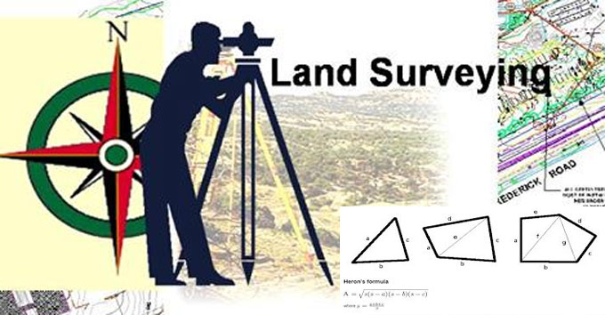
Geometric Method: Under this method, the surveying is done for odd shaped plot and plotted over graph paper. Area of the plot is then split into geometric figures and various formulas are used to measure the areas of these geometric figures.
Initially, the geometric figures with biggest sizes are drawn precisely in the map, accompanied by smaller shapes, unless the entire space has been captured averagely.
All these figures contain their calculated areas and these areas are then sum up jointly to provide the total area.
As for instance :-
Area of Rectangle: Length x Breadth
Area of Square: Length x Length
Area of Triangle: 0.5 x Base x Height
Area of Trapezium: 0.5 x (Length 1 + Length 2) x Height
The perfect area is obtained by applying these formulas.
Using Planimeter on Map: Planimeter belongs to a small gadget that is applied to calculate the areas of a graphically represented planar region. It has the ability to calculate all regular and irregular shapes. It is required to pivot it at any point and then operate the end pin all over the perimeter of the area to be calculated. It offers a compliant connection that facilitates to move in spite of any effort in all directions.
A planimeter will be only effective when there is a map of the area or an aerial photograph. In recent times, high resolution photos can be obtained through satellites with the use of Google earth, wikimapia, and other applications. It is also possible to draw your individual map once the dimensions and angles of different lines are selected and then it is calculated with a planimeter.
But, one issue may happen with scale. Planimeter will provide the measurement of area in its own scale or square meter and it is necessary to change it to your own unit. If there is a known area on the map or a small square is drawn inside the map, it?s area can be computed on the basis of the scale ratio of the map. Then run the planimeter over it and obtain its evaluation.
As for instance, if the dimension of the square is 300 square feet and the planimeter measures it as 1.5 square meter then 1 m2= 200 feet square
So, multiplying the final reading of the planimeter in m2 by 2 will provide you the reading in square feet.
To get more information on other methods, go through the following link dreamplanbuilder.com


